“If a straight line is the shortest distance between two fated points, digression will lengthen it; and if these digressions become so complex, so tangled and tortuous, so rapid as to hide their own tracks, who knows - perhaps death may not find us, perhaps time will lose its way, and perhaps we ourselves can remain concealed in our shifting hiding places.” -Italo Calvino.
Brief
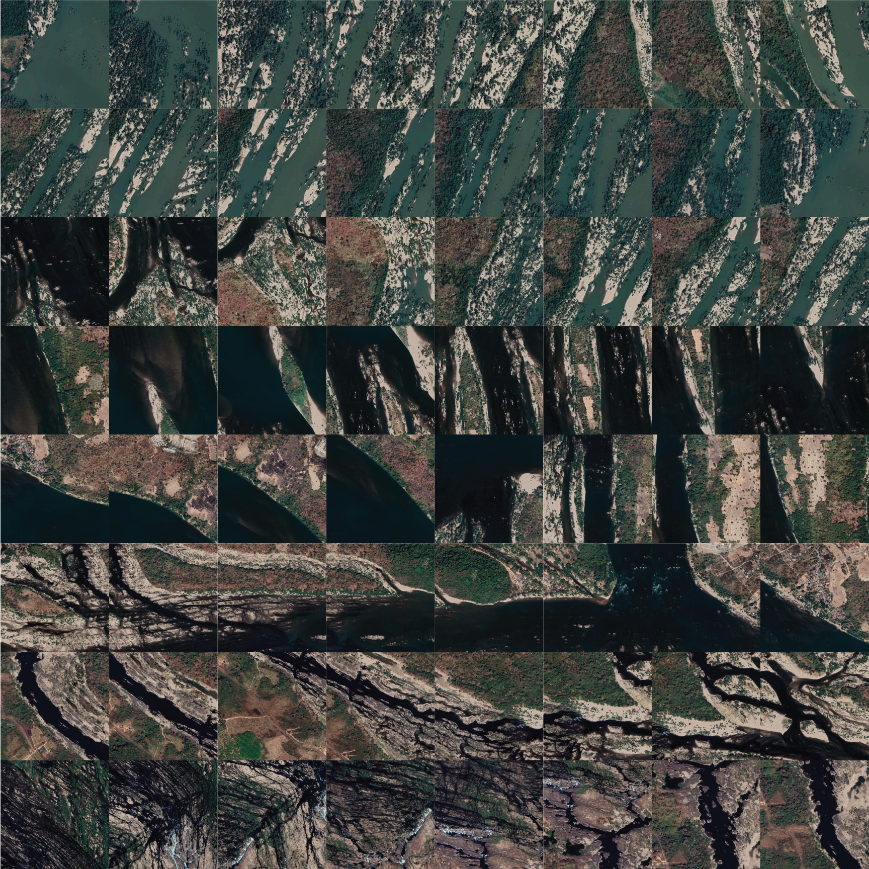
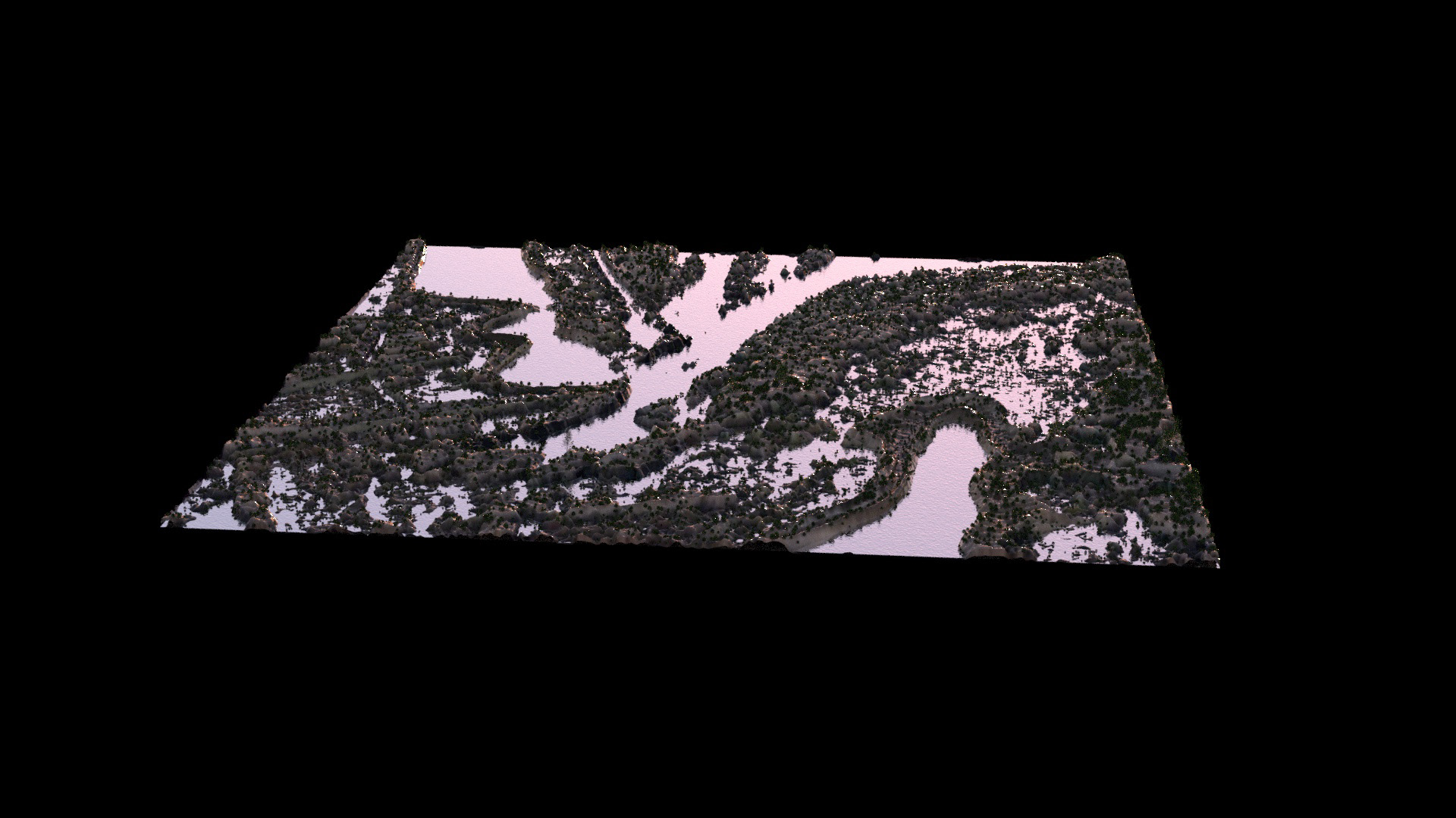
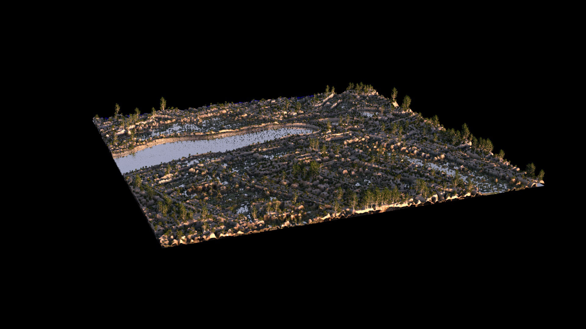
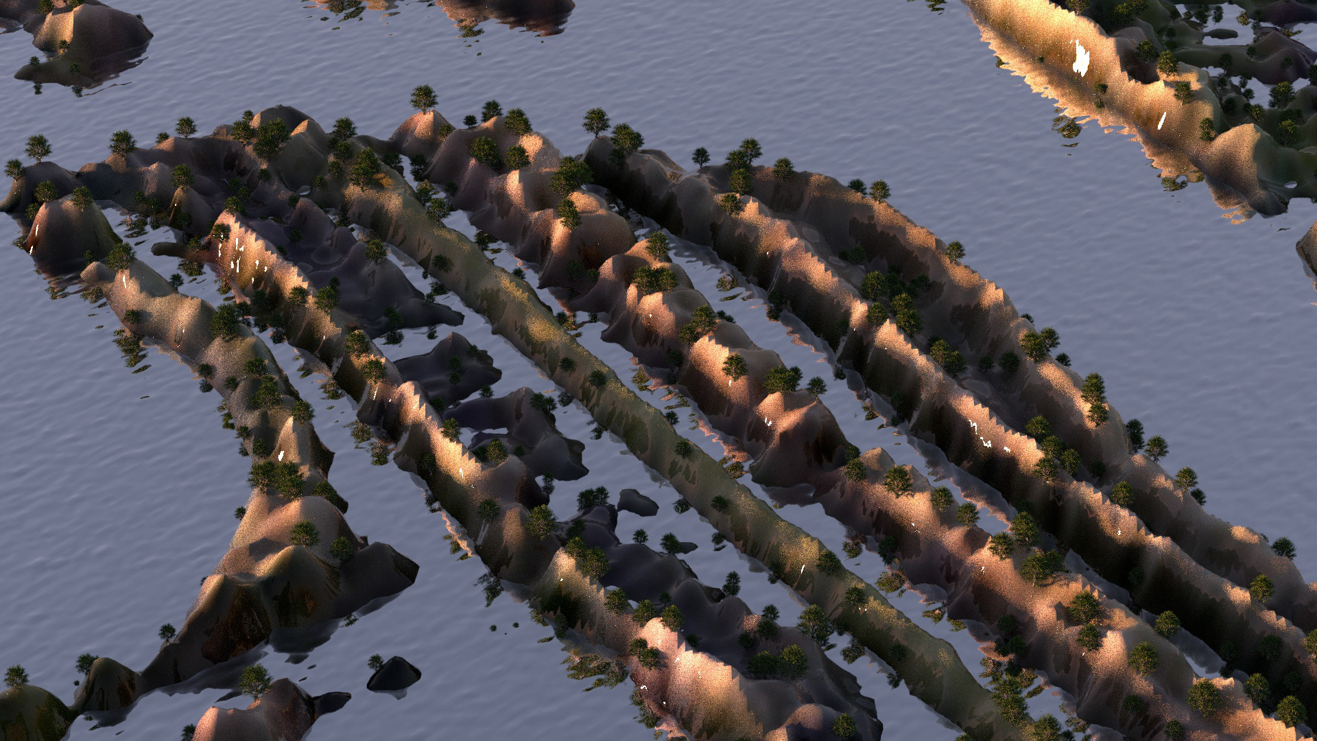
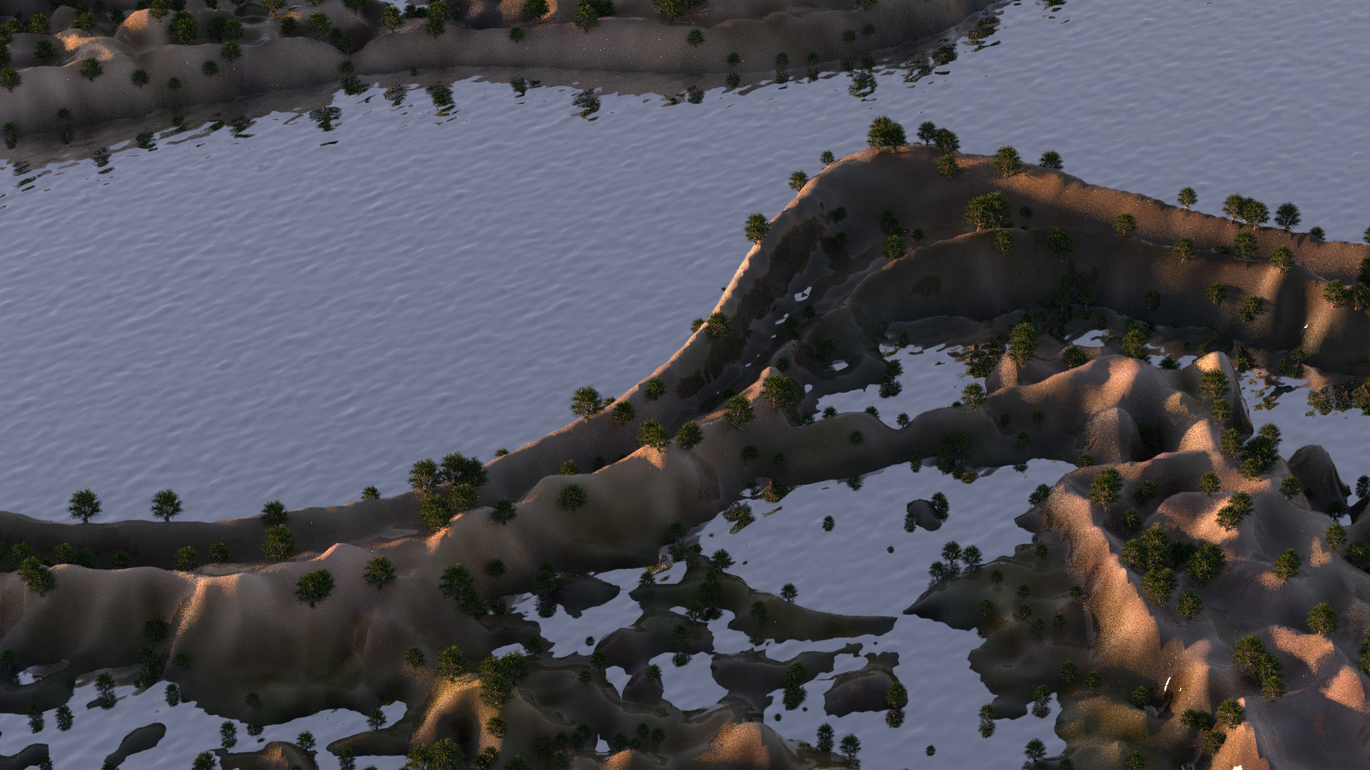
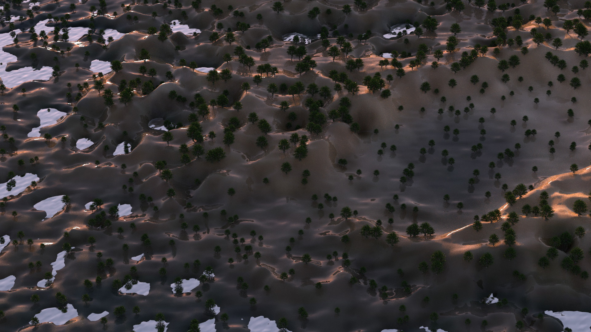
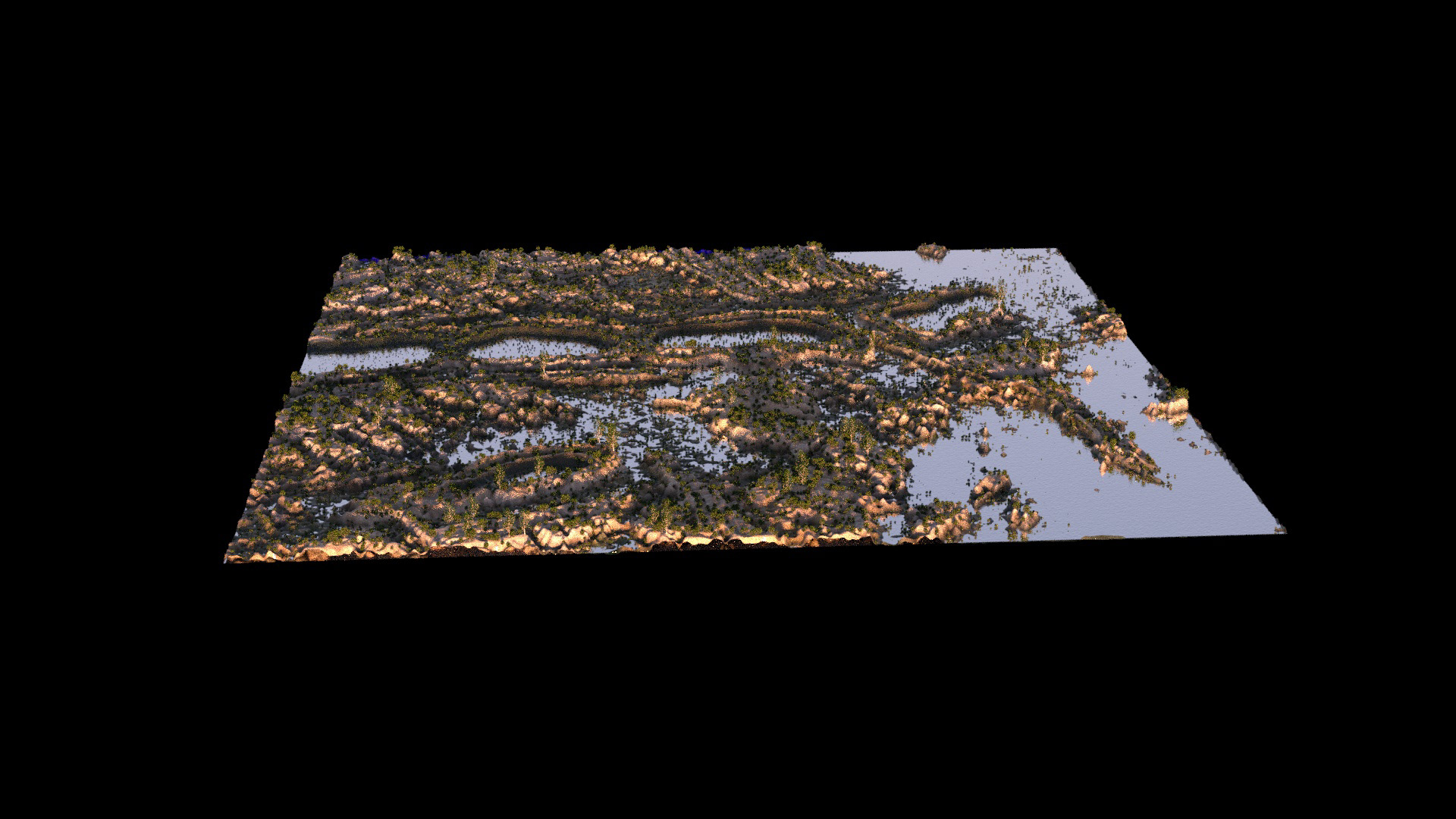
Cartography is a technique that changes slowly and is difficult to visualize in our daily lives. However, in this project, we observed cartography in a dynamic process that began with Google Earth data sets, continued with Ganstyle images, and utilized Cinema 4D with Octane rendering. Cartography becomes visible and observable through the use of modern technologies, which are becoming more powerful and complex. We now know that weather patterns, changes in the earth's crust, and even the universe's galaxy are constantly in flux. Therefore, a static presentation of cartography cannot describe the moving status of the planet. Cartography is no longer an unchanging map or recording paper; it has become a vigorous procedure that completely breaks from its original form.
Timothy Morton's concept of "hyper objects," objects that are too vast in scale and time to be observable by the human eye, can aid in moving beyond the static status quo of cartography. The maps generated through this process will use moving images to imagine what kinetic cartography might look like. Although the temporality of the outputs may ultimately fail to grasp the truth, as all maps do, they will push past the imperial tendency to superficially graft knowledge onto other objects and the colonial necessity to concretize things.
#Cartography #C4D #OctaneR25 #Rhino7 #Photoshop #Illustrator #AfterEffects #MediaEncoder #Ganstyle #Adobe
Working Process
Through the utilization of machine learning techniques, we were able to generate datasets of regions which we then combined with those of our classmates to create entirely new lands. The culmination of our combined research resulted in a latent space walk-through of the model, comprised of moving images that we used to generate new maps and animations, allowing us to explore different modes of representation. Our efforts resulted in a variety of deliverables, including showcased datasets, static and moving maps, as well as a vivid sense of the spirit of our newly created world.